FMA300
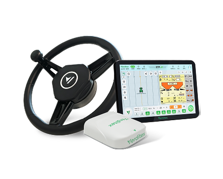
Auto Steering System

AP100 GNSS Receiver
- All-in-one design
- full-constellation & multi-frequency
- IP67-Rated
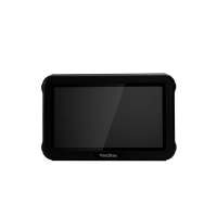
Tablet
- 10.1-inch HD display
- Rugged, industrial-grade construction
- IP65-Rated
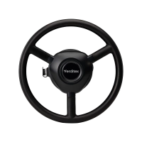
Electric Steering Wheel
- Large-diameter design
- High-torque system
- Advanced real-time dynamic correction
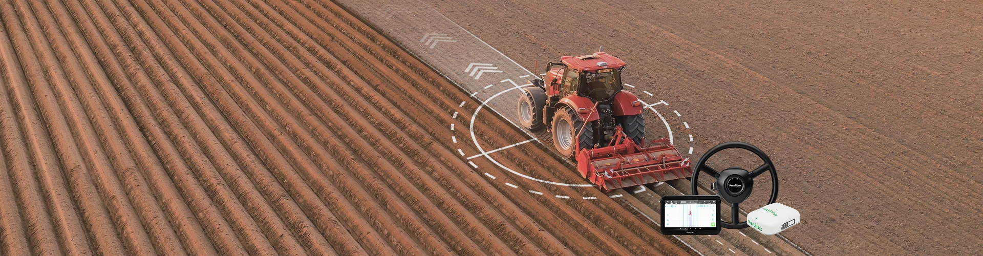
FMA300 is an accessible and reliable auto -steering system designed to bring precision farming within easy reach. With a highly integrated architecture and fast installation, it enables operators to quickly adopt hands-free guidance and improve efficiency from day one.
Powered by full-constellation GNSS positioning and GNSS+IMU integrated navigation. it delivers stable accuracy of ≤2.5 cm across a wide operating range. Beyond guidance. it supports integrated solutions for navigation, spraying, and seeding, and connects seamlessly with the Verdione platform for smarter farm management - making it a practical, future-ready solution for modern agriculture.
Features
- ≤2.5 cm consistent accuracy
- Versatile work modes
- Reliable performance
- Fast installation in 30 minutes or less
- Automatic terrain compensation
- High compatibility
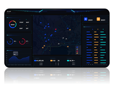
- VerdiOne Farm Management
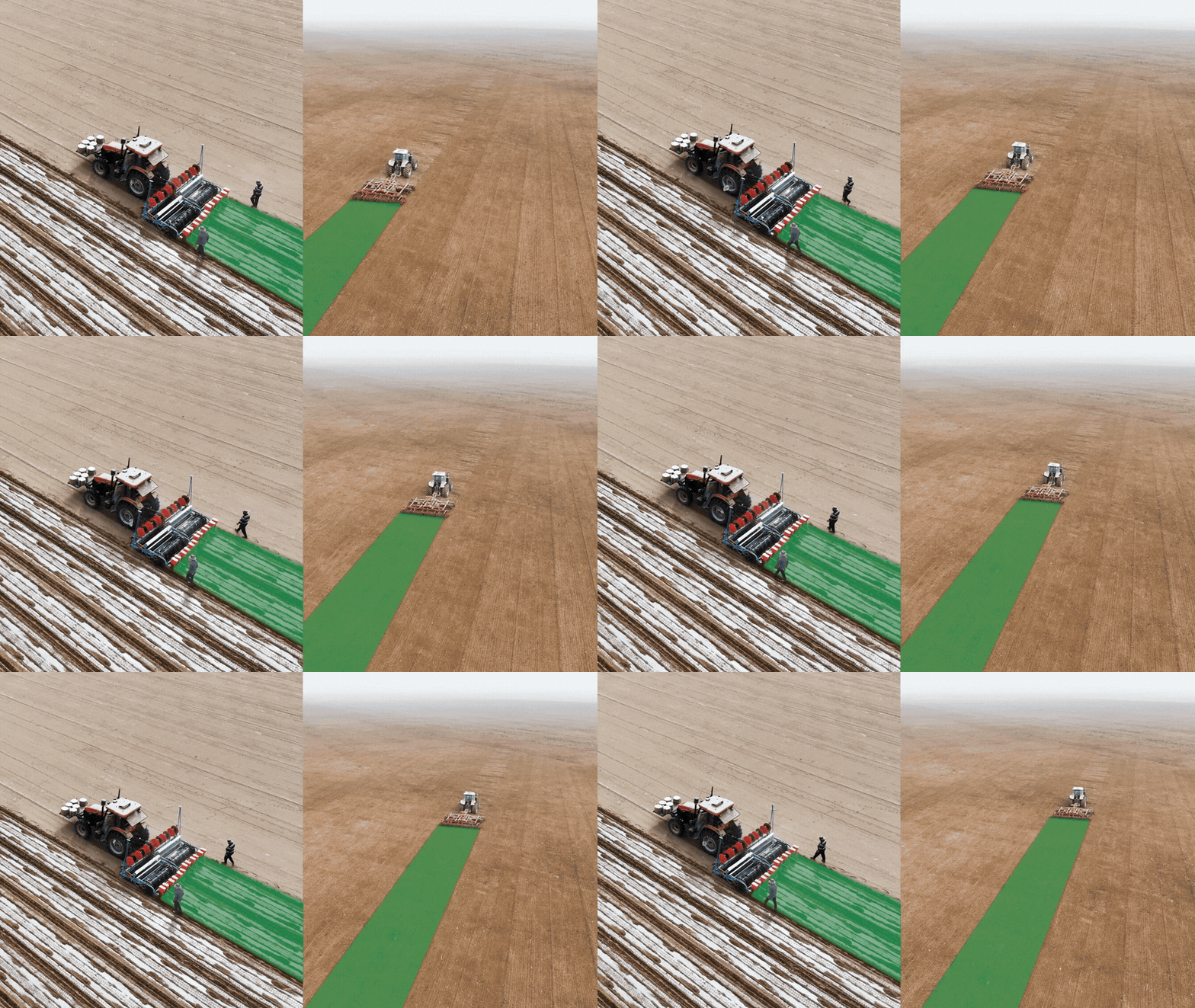
FMA300 is an accessible and reliable auto steering system designed to bring precision farming within easy reach. With a highly integrated architecture and fast installation, it enables operators to quickly adopt hands-free guidance and improve efficiency from day one.
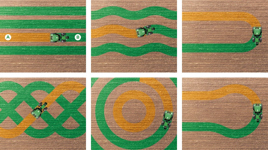
The system supports multiple operating modes, including straight line, curve, pivot, diagonal harrowing, and basic or Ω-shape U-turns, to effortlessly handle complex field operations.
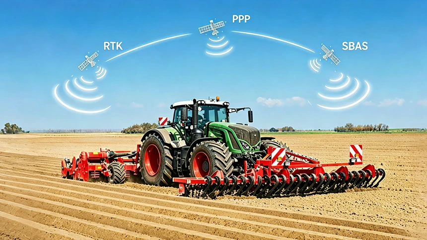
Supports CORS networks for correction services and satellite-based augmentation, including BeiDou PPP-B2b and Galileo HAS, ensuring stable, high-precision performance - even without a network connection.
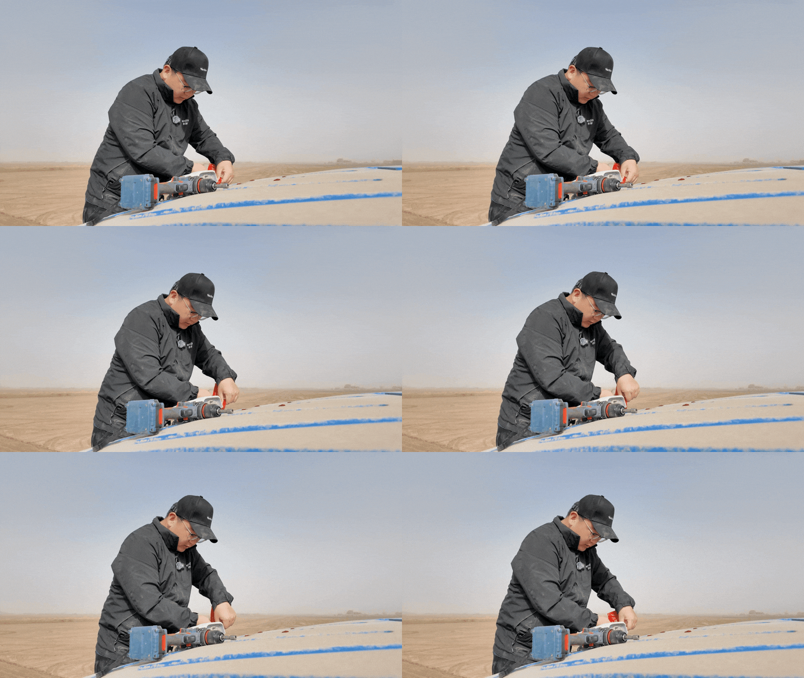
Highly integrated design simplifies setup and minimizes downtime, allowing for installation in 30 minutes or less.
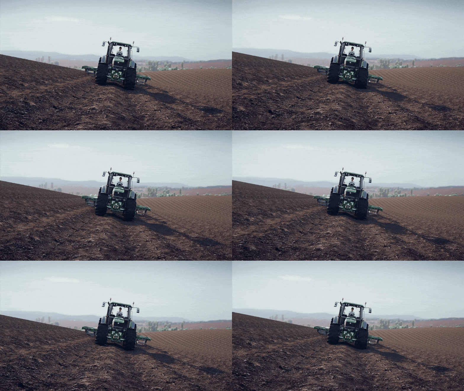
Automatically compensates for hillsides, slopes, and rough terrain, optimizing steering accuracy by sensor fusion algorithms integrating data from high precision GNSS and inertial sensors.
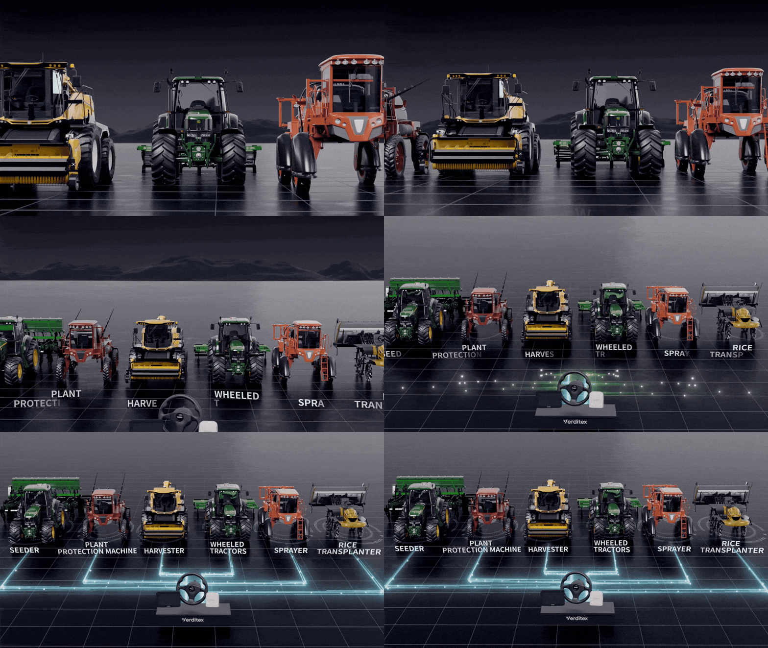
Compatible with most mainstream tractors, easily installed and transferred between models using adaptable spline sleeves.
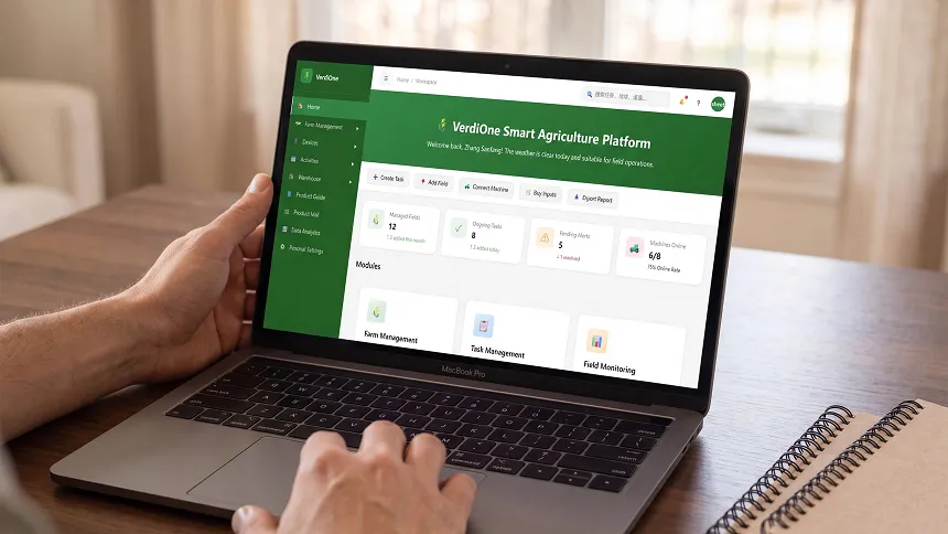
Web-based management of fields, machines, operators, and prescriptions, with task sharing and operational insights.
Specifications
System performance
| Input voltage | Range: 9-32 V DC |
| Typical: 12/24 V DC | |
| Pass-to-pass accuracy | ≤2.5 cm |
| Vehicle velocity | 0.1-30 km/h |
| NMEA output | Connector: DB9 |
| Data format: NMEA 0183 | |
| Output frequency: 1/2/5/10 Hz | |
| Operating temperature | -20°C-+70°C |
| Storage temperature | -40°C-+85°C |
Tablet
| Display size | 10.1-inch LCD touch screen (support 5-point touch) |
| Display brightness | 750 nits |
| Resolution | 1024 × 600 Pixels |
| Communication | GSM, UMTS, LTE |
| Wi-Fi 2.4G | |
| Bluetooth 4.2, BLE | |
| Dust and waterproof | IP65 |
GNSS receiver
| Constellations | BDS: B1, B21, B31, B1C, B2b |
| GPS: LIC/A, L2C, L5 | |
| GLONASS: G1, G2 | |
| Galileo: E1, ESa, E5b, E6 | |
| QZSS: LIC/A, L2C, L5, L6 | |
| RTK accuracy (RMS) | Horizontal: 0.8 cm+1 ppm |
| Vertical: 1.5 cm+1 ppm | |
| PPP accuracy (RMS) | Horizontal: 5 cm |
| Vertical: 10 cm | |
| Speed accuracy (RMS) | 0.03 m/s |
| IMU accuracy | Roll/Pitch: 0.2° |
| Heading: 0.3° | |
| Radio frequency | 410-470 MHZ |
| Dust and waterproof | IP67 |
Electric steering wheel
| Torque | Typical: 7 N·m |
| Peak: 13 N·m | |
| Motor speed | 100 r/min (max.) |
| Wheel diameter | Ø400 mm |
| Motor dimension | Ø171 mm × 76 mm |
Camera
| Video signal | CVBS 1080p |
| Resolution | 1280 × 720 Pixels |
| Dust and waterproof | IP67 |
Benefits

Fast payback
Reduce fuel, seed and fertilizer costs by up to 15%

24/7 operation
Operate reliably day and night, even in dusty conditions and low visibility

Easy to operate
Intuitive operation delivers consistent performance, regardless of operator experience

Yield optimization
Maintain precise field passes to maximize crop yield potential